Syrio · CC BY-SA 4.0
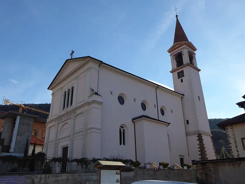
Chiesa del Santissimo Redentore
It was decided to build the new church without pulling down the old one.
San Michele all'Adige
This page was translated automatically and we are reviewing it. Read the original in Italian
 Valli del Noce
Piana Rotaliana
The valleys
La soglia meridionale da cui si entra nelle valli, patria del Teroldego.
20 places listed, 20 of them with a written entry
Municipalities: Lavis, Mezzocorona, Mezzolombardo, Roverè della Luna, San Michele all'Adige, Terre d'Adige

From above
Piana Rotaliana
Syrio · CC BY-SA 4.0
It was decided to build the new church without pulling down the old one.
San Michele all'Adige
Syrio · CC BY-SA 4.0
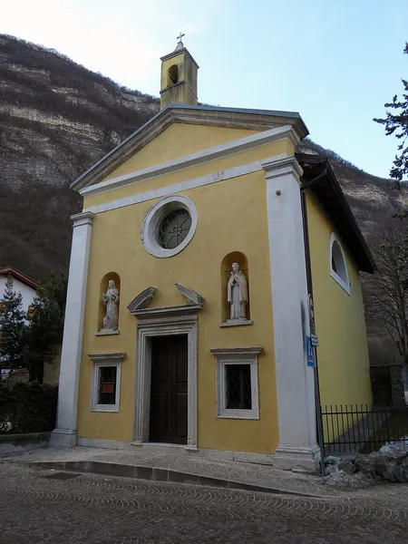
Napoleon's French troops used it as a hospital.
Mezzolombardo
Syrio · CC BY-SA 4.0
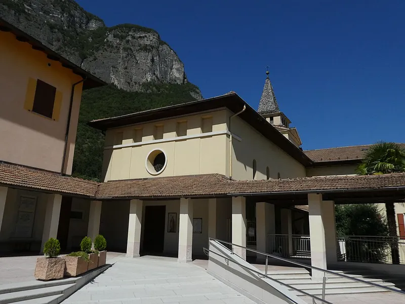
In the village it is called the church of san Gottardo, but it is not dedicated to him.
Mezzocorona
Syrio · CC BY-SA 4.0
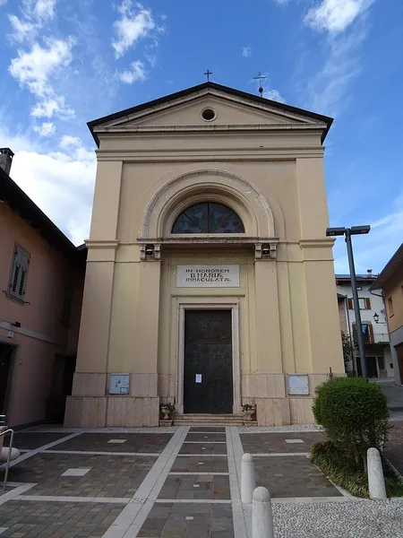
In 1538 it was a chapel with a graveyard attached.
San Michele all'Adige
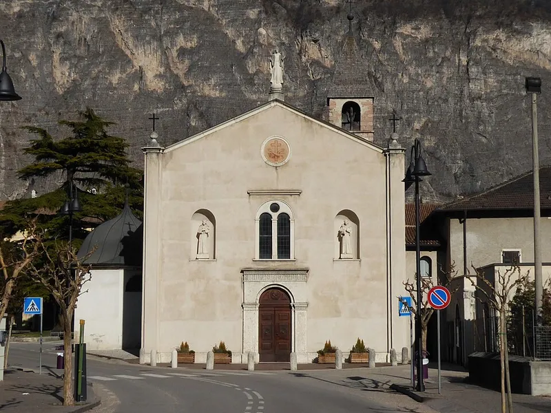
Syrio · CC BY-SA 4.0
In the presbytery stands the aedicule that occupied the site before the church.
Mezzolombardo
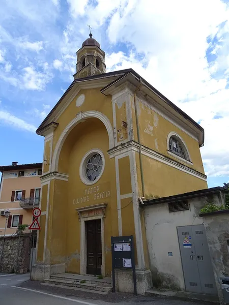
Syrio · CC BY-SA 4.0
A private ex voto, for an illness overcome.
Mezzolombardo
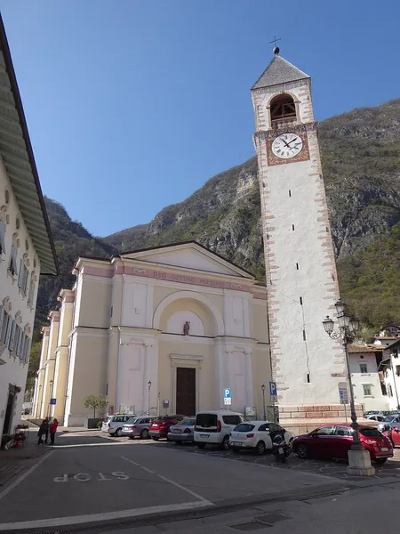
Syrio · CC BY-SA 4.0
Built because the old one was no longer big enough, and in 1705 its roof burned down.
Mezzolombardo
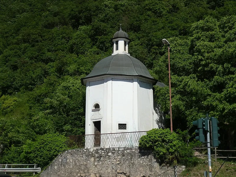
Syrio · CC BY-SA 4.0
The date is unknown: between 1749 and 1766.
San Michele all'Adige
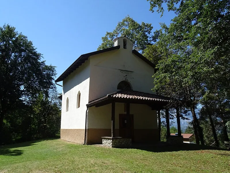
Syrio · CC BY-SA 4.0
In 1787 a private individual built it for holidaymakers.
Mezzocorona
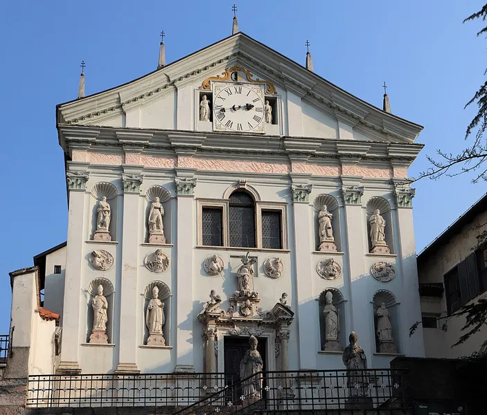
Lungoleno · CC BY-SA 4.0
To rebuild it after the fire of 1267, the canons sold their lands at Fai.
San Michele all'Adige
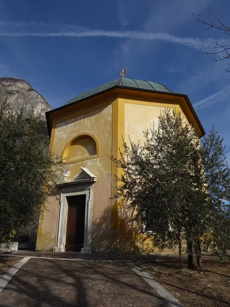
Syrio · CC BY-SA 4.0
It stands where, not far away, the ancient pieve of Mezzocorona once stood.
Mezzocorona
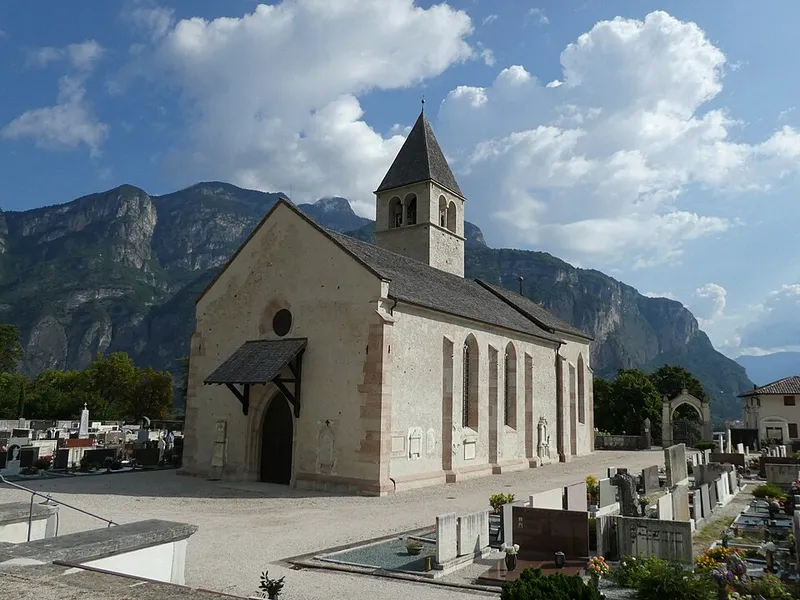
Syrio · CC BY-SA 4.0
The bell tower is older than the church beside it.
Mezzolombardo
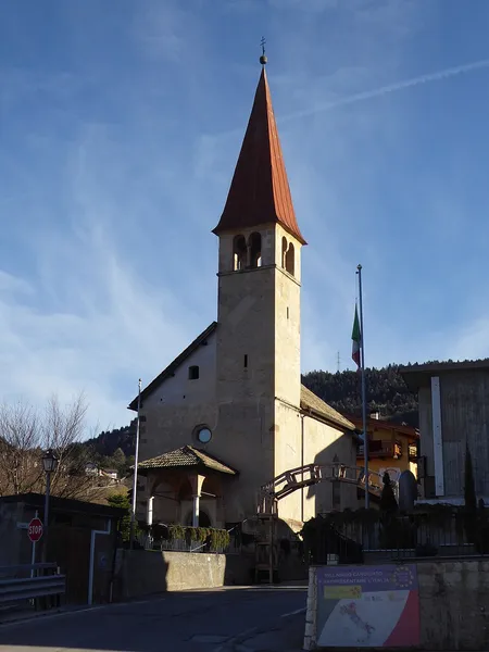
Syrio · CC BY-SA 4.0
A wooden altarpiece kept the fresco in the presbytery hidden.
San Michele all'Adige
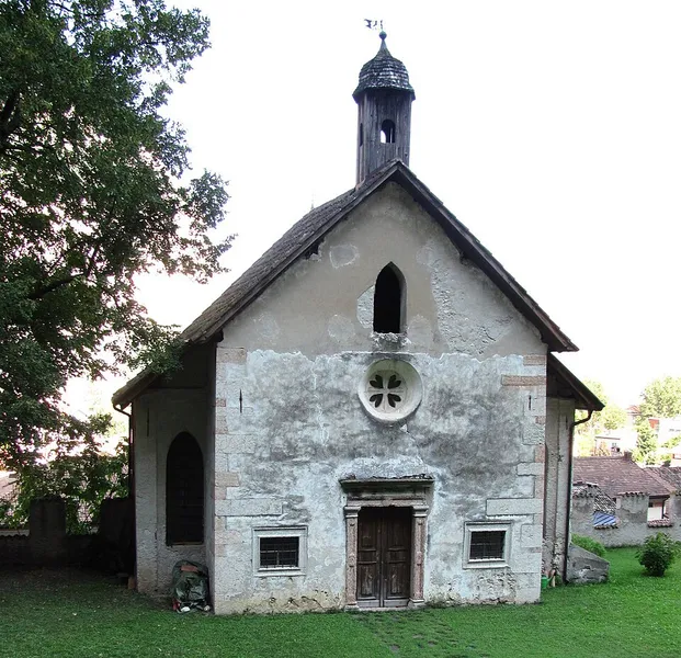
Croromano · CC BY-SA 4.0
A crypt beneath the floor, entered through a trapdoor.
Mezzolombardo
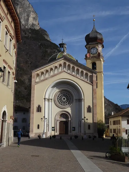
Syrio · CC BY-SA 4.0
In 1865, when the works were almost finished, the pier that supported the crossing tower collapsed.
Mezzocorona
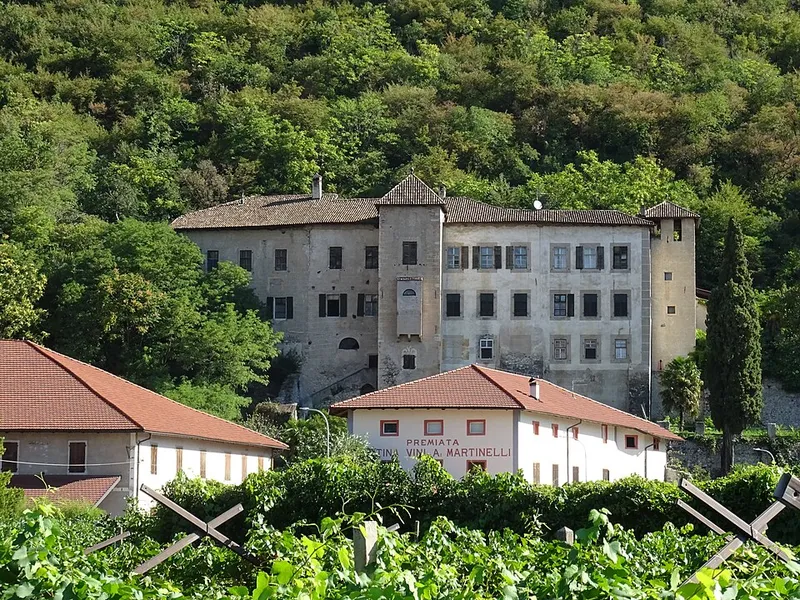
Syrio · CC BY-SA 4.0
Built in 1480 because the castle above was too inconvenient, and still inhabited by the Firmian family.
Mezzocorona
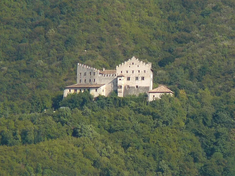
Llorenzi · CC BY-SA 3.0
Castrum regalis: the castle of 1238 that gives its name to the Comunità della Piana.
San Michele all'Adige
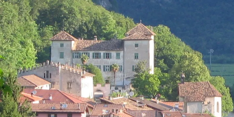
Croromano · CC BY-SA 4.0
The great tower of the Metz family, later the residence of the Spaur, where a prince-bishop was born.
Mezzolombardo
More from above
Piana Rotaliana
18 recorded routes covering 112 kilometres, including 4 vie ferrate, plus the provincial cycle route that crosses it.
See the routes in Piana Rotaliana
Provincial register of trails. © SAT.
From the Province’s open data: 1 body of water with a name and altitude (1 artificial); the main watercourses: Torrente Noce, Fiume Adige, Fossa di Caldaro; 5 protected areas.
The lakes of Piana RotalianaProtected areas
Registers of the Autonomous Province of Trento: waters in the public domain, protected areas CC BY 4.0.
Every place has its own page, with its entry, the photo with its author and the verified facts. Places without an entry still have a position and sources: the story is written one at a time.