Bait del Germano
A refuge among the meadows of the Paganella plateau, with a view stretching from the Brenta to Lake Garda.
This page was translated automatically and we are reviewing it. Read the original in Italian
 Valli del Noce
Dolomiti di Brenta
The valleys
Patrimonio UNESCO dal 2009, il gruppo dolomitico piu' occidentale.
46 places listed, 46 of them with a written entry

From above
Dolomiti di Brenta
A refuge among the meadows of the Paganella plateau, with a view stretching from the Brenta to Lake Garda.
At 3,135 metres on the Crozzon di Brenta, named after a mountaineer and partisan.
Above Molveno, at 1,365 metres on the slopes of Monte Daino, with a view of the Dolomiti di Brenta.
At 1,820 metres in the upper Val d'Ambiez, in the southern Brenta, above San Lorenzo in Banale.
At 2,580 metres in Val Brenta Alta, since 1968.
Hikers' refuge above San Lorenzo in Banale, where the Prada pastures loop begins.
At 1,825 metres above Madonna di Campiglio, since 1909.
At 1,430 metres above Molveno, since 1962.
At 2,487 metres on the Stenico side, owned by the SAT since 1908.
At 2,101 metres on the summit of the Doss del Sabion, above Pinzolo, where the cable car from the Val Rendena arrives.
At 1,838 metres on the Fai della Paganella side, next to the ski run that bears its name.
At 2,272 metres on the Madonna di Campiglio side, owned by the SAT since 1904, run by the same family since 1981.
Hikers' hut halfway up the Val d'Algone, beside the chimney of a nineteenth-century glassworks.
At 2,261 metres at Grostè, named after a Trentino mountaineer who died aged twenty-eight.
On the Pradel plateau above Molveno, at the foot of the Croz dell'Altissimo and facing the Paganella.
At 2,125 metres on Cima Roda, the highest peak of the Paganella.
At 1,768 metres on the shore of Lago Nambino, about two kilometres from Madonna di Campiglio, in the Parco Adamello Brenta.
At 1,888 metres on the shore of Lago delle Malghette, in the upper Val Meledrio, inside the Parco Adamello Brenta.
At 2,182 metres in the Val Brenta, since 1947.
At 1,630 metres in the Brenta, one of the oldest refuges in the whole group.
At 2,491 metres in the heart of the Brenta, owned by the SAT since 1911.
At 2,405 metres in the Val d'Ambiez, one of the oldest in the group.
At 2,082 metres at Pradalago, above Madonna di Campiglio, beside a small lake and facing the Brenta.
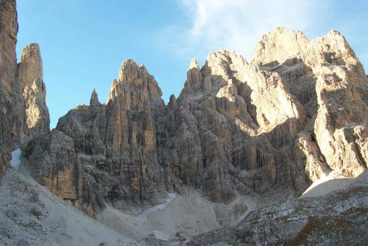
S.F. · CC BY-SA 3.0
It has two summits, separated by a deep cleft.
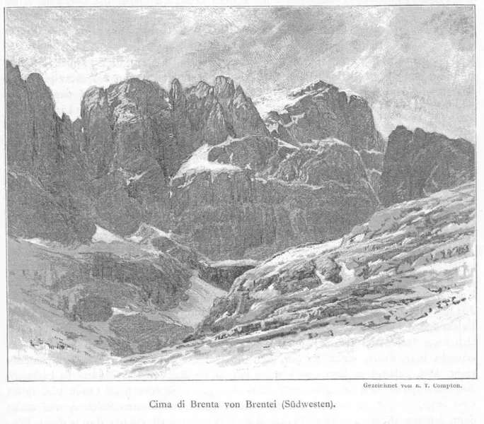
Edward Theodore Compton · Public domain
It is the highest peak of the Dolomiti di Brenta, not the Tosa.
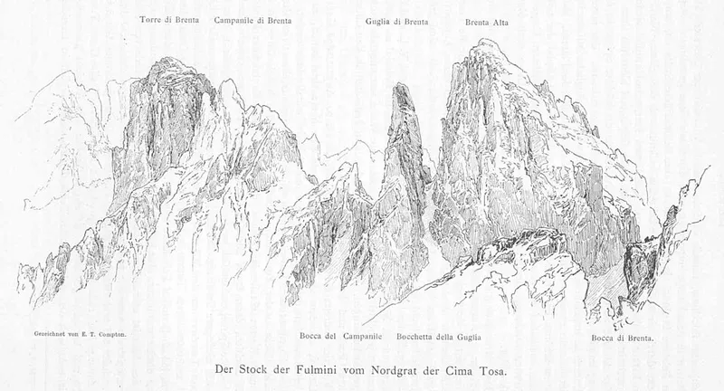
Edward Theodore Compton · Public domain
It was first climbed in 1880 by the Nicolussi brothers, guides from Molveno.
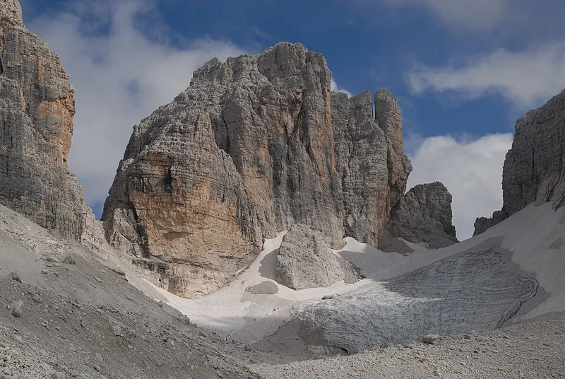
Hopfenmalz · CC BY-SA 4.0
It bears the name of a family of chamois and bear hunters.
It is not a single peak: there are three, almost the same height.
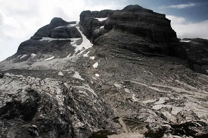
Glysiak · CC BY-SA 4.0
The first mountaineering ascent was made by a father and his ten-year-old son.
In the local dialect it is called Bastiot.
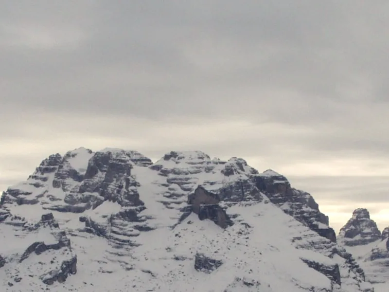
Jaroslav Jelínek · CC0
A reddish wall that drops for seven hundred metres, and the fame of its neighbour.
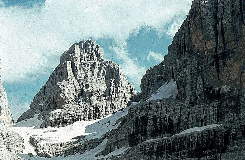
Ziegler175 · CC BY-SA 3.0
It was called Cima Regina Margherita, then the queen dropped out of the name.
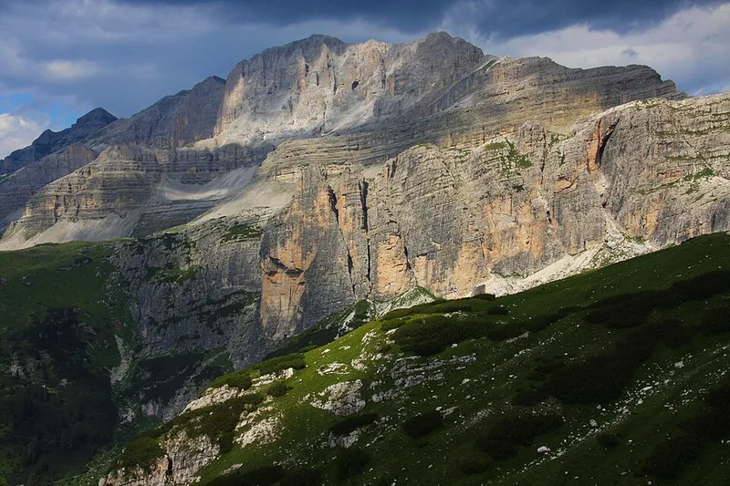
Glysiak · CC BY-SA 4.0
Almost three thousand metres between Campo Carlo Magno and Lake Tovel.
It is the last peak of the eastern chain of the Campa.
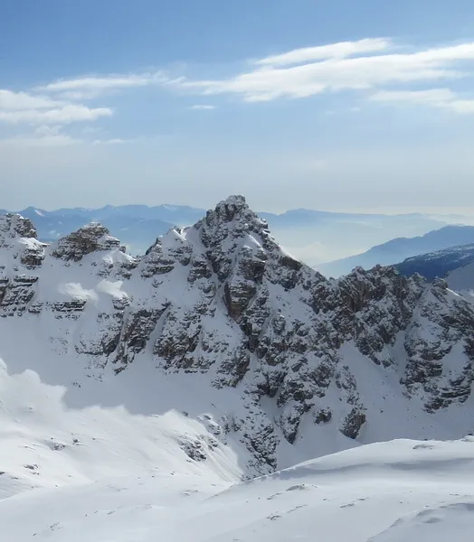
Orsodelbrenta · CC0
From Monte Corona it can be reached along the ridge, with an easy scramble.
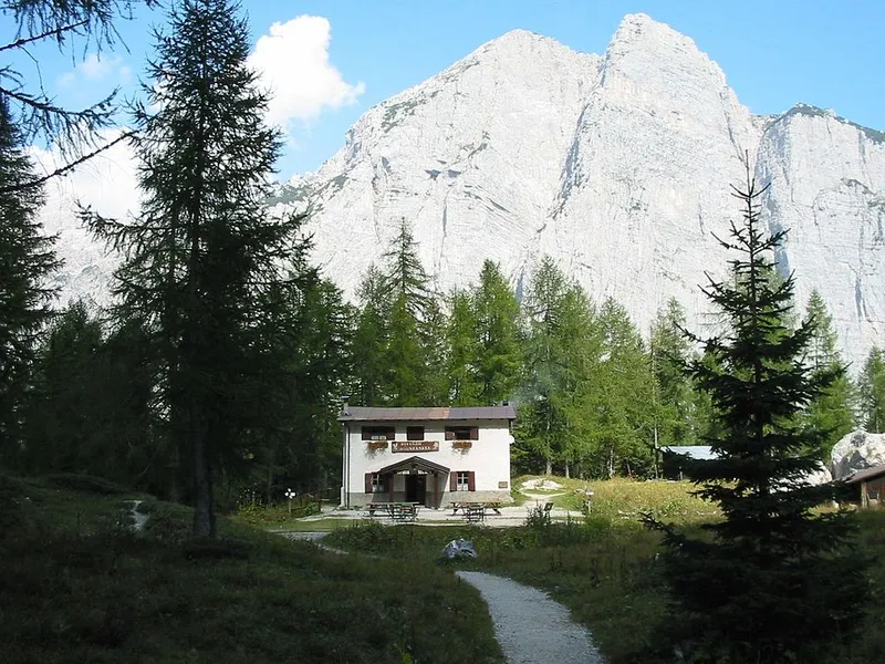
S.F. · CC BY-SA 3.0
A nine-hundred-metre wall above the valle delle Seghe.
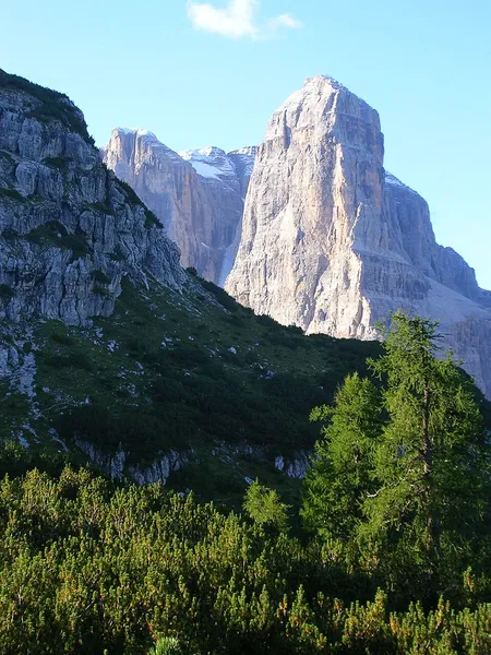
Fdbef · CC BY-SA 3.0
A nine-hundred-metre edge, visible from the road to Campiglio.
A UNESCO World Heritage Site since 2009, the westernmost Dolomite group.
With Monte Rocca, it encloses the two sides of the Valle del Goslada.
On the path you come across a small chapel in memory of Ivo Bergamo.
The highest peak of the eastern chain of the Campa, and it has two summits.
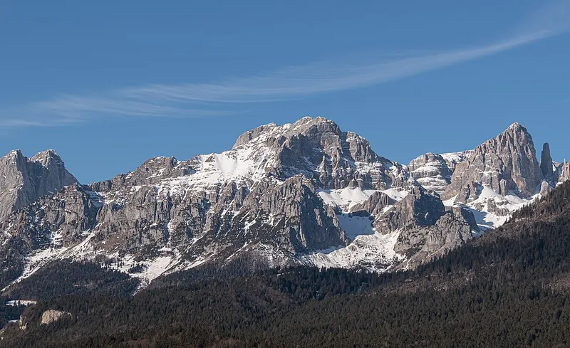
Giorgio Galeotti · CC BY 4.0
From the north it looks like the head of a deep-sea fish, and the ridge its fin.
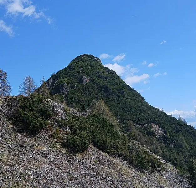
Orsodelbrenta · CC0
Together with Monte Bedole, it encloses the Valle del Goslada.
In the roped party of 1885 there was a third person, and we do not know who.
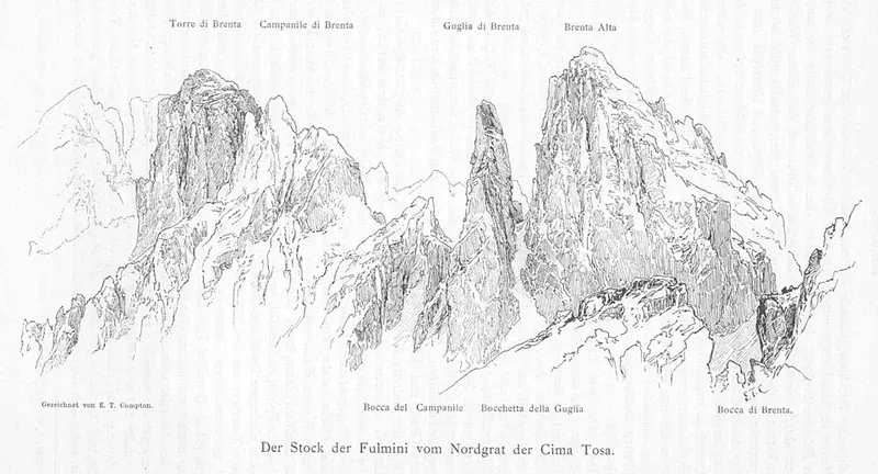
Edward Theodore Compton · Public domain
It was first climbed by the same Molveno guide who had made the first ascent of the Crozzon.
More from above
Dolomiti di Brenta
177 recorded routes covering 894 kilometres, including 20 vie ferrate.
See the routes in Dolomiti di Brenta
Provincial register of trails. © SAT.
From the Province’s open data: 16 bodies of water with a name and altitude (2 artificial); the main watercourses: Torrente Sporeggio, Torrente Meledrio, Fiume Sarca; 13 protected areas, including a park.
The lakes of Dolomiti di BrentaProtected areas
Registers of the Autonomous Province of Trento: waters in the public domain, protected areas CC BY 4.0.
Every place has its own page, with its entry, the photo with its author and the verified facts. Places without an entry still have a position and sources: the story is written one at a time.