
Nature · Dolomiti di Brenta
Cima Margherita
It was called Cima Regina Margherita, then the queen dropped out of the name.
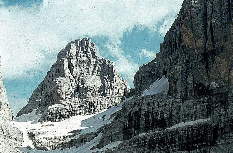

Cima Margherita is 2,845 metres high and lies in the southern part of the Brenta group, within the Tosa massif, between Cima Tosa and Cima Brenta Bassa; the saddle of Bocca Margherita separates it from the former, an unnamed notch from the latter. The south and north faces drop vertically, the first towards the cirque of Pozza Tramontana, the second towards the upper Val Brenta, and according to Pino Prati this summit offers the best view of the Sfulmini group.
The name was given in honour of Margherita, Queen of Italy, and originally the peak was called in full Cima Regina Margherita: the direct reference to the sovereign was later dropped, and only the given name remains.
The first ascent was made by Stefano Yocca on 15 September 1885, accompanied by the two Molveno guides Bonifacio and Matteo Nicolussi. That route, from Bocca Margherita along the west face, is still the normal one, and Buscaini and Castiglioni judge it easy but not very interesting; the interest for climbers lies on the south and north faces, opened in 1926 by Renzo Videsott and C. Tasin and in 1936 by W. Pfeifer and M. Reif, with routes that reach upper seventh grade.
- Elevation
- 2,845 m
- First ascent
- 15 September 1885
- Original name
- Cima Regina Margherita
- Group
- Dolomiti di Brenta
Trails that pass through here
- O358Via ferrata alpinistica "Livio Brentari"EEA-D4.3 kmabout 300 m away
- O318AVia ferrata Bocca di BrentaEEA-F3.6 kmabout 500 m away
From the register of alpine trails of the Autonomous Province of Trento. © SAT.