
Nature
Monte Ozol
On the Doss Ciaslir there was a place of worship from the Bronze Age.
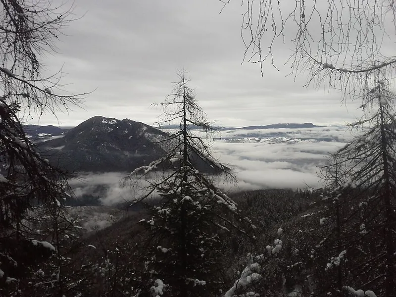

Monte Ozol is 1,556 metres high and lies in the north-west part of the Val di Non, in the municipality of Novella, between the villages of Revò, Cloz, Romallo and Cagnò: it separates the valle di Rumo from the villages of the upper Anaunia. It is not a high mountain, but from the summit you can see the whole of the Val di Non, the Val di Sole, the valle di Bresimo, the Maddalene range, the Roen with the Cime di Vigo, the Brenta, the Cevedale group and even the Marmolada.
Its greatest interest, however, lies underground. At the locality of Doss Ciaslir, also called Doss Ciarlir, a Bronze Age settlement has been found, first documented in 1902 by Luigi de Campi. The systematic excavations of Professor Broglio of the University of Ferrara, in 1961, established that the site preserves the remains of a Bronze Age place of worship, that is, of the first millennium BC, and traces of later settlements up to the Rhaetian phase. The research continued in 1968 with the Soprintendenza alle Antichità delle Venezie, which found potsherds and remains of animal bones.
Hikers rarely visit it, partly because there are no mountain huts or alpine farms (malghe); mountain bike enthusiasts, on the other hand, gladly go there.
- Elevation
- 1,556 m
- Doss Ciaslir
- Bronze Age place of worship
- First systematic excavations
- 1961
- Group
- Maddalene range
Trails that pass through here
- A29Route A29E3.5 kmright here
- A29CRoute A29CE2.7 kmabout 100 m away
- A41Route A41E1.9 kmabout 350 m away
From the register of alpine trails of the Autonomous Province of Trento. © SAT.