
Nature · Ton · Val di Non
Monte Cucco
A protected route to the summit, above two valleys.
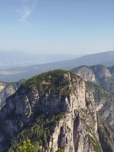

A 1,807 metre peak straddling the Val di Non and the Valle dell'Adige, in the small Cime di Vigo range, the same one as the Corno di Tres. It runs between the Val dei Molini above Roveré della Luna and the Rocchetta to the south, as far as the Prà d'Arza pass to the north.
It is reached from Malga Bodrina via the Cima Roccapiana and the Portaza pass, with a protected section before the summit: about two hours and forty minutes in all.
- Elevation
- 1,807 m
- Group
- Costiera della Mendola
Trails that pass through here
- O500Sentiero alpinistico attrezzato delle cimeEE51.8 kmright here
- O500Sentiero alpinistico attrezzato delle cime - tratta via ferrataEEA-PD0.3 kmright here
From the register of alpine trails of the Autonomous Province of Trento. © SAT.