
Nature
Penegal
You can get there by car, and from the summit you can see the Dolomites and Bolzano.
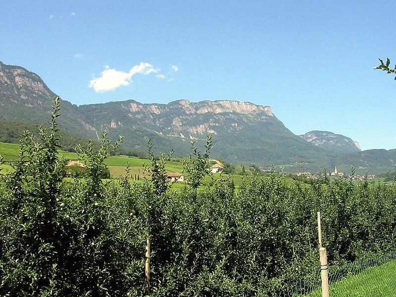

The Penegal, which has the same name in German, reaches 1,737 metres and is part of the Costiera della Mendola, in the Alps of the Val di Non. It stands north of the Mendola pass, near Ruffrè, and marks the geographical boundary between the provinces of Trento and Bolzano, that is, between the Val di Non and the Bassa Atesina.
Its shape tells of the glaciers that moulded it, as in the rest of the Costiera: the eastern flank drops steeply towards the Adige valley, while the western one slopes down gently. From the top the panorama is wide: Bolzano, the Dolomites with the Odle, Sciliar, Catinaccio and some outliers of the Latemar, the Lagorai, the Gruppo di Tessa, the Catena delle Maddalene, part of the Ortles-Cevedale and a good part of the Dolomiti di Brenta, and below, the lakes of Caldaro, Monticolo and Santa Giustina.
It is a summit that can also be reached without walking: from the Mendola pass, at 1,363 metres, a 3.9-kilometre asphalt road climbs up, and at the top there are a hotel, an observation tower and some television transmitters. On foot from the pass it takes a little over an hour, with 374 metres of elevation gain.
- Elevation
- 1,737 m
- From the Mendola pass
- 374 m of elevation gain
- Asphalt road
- 3.9 km
- Group
- Costiera della Mendola
Trails that pass through here
- O500Sentiero alpinistico attrezzato delle cimeEE51.8 kmright here
- O508Route O508E6.8 kmabout 100 m away
From the register of alpine trails of the Autonomous Province of Trento. © SAT.