
Nature
Paganella
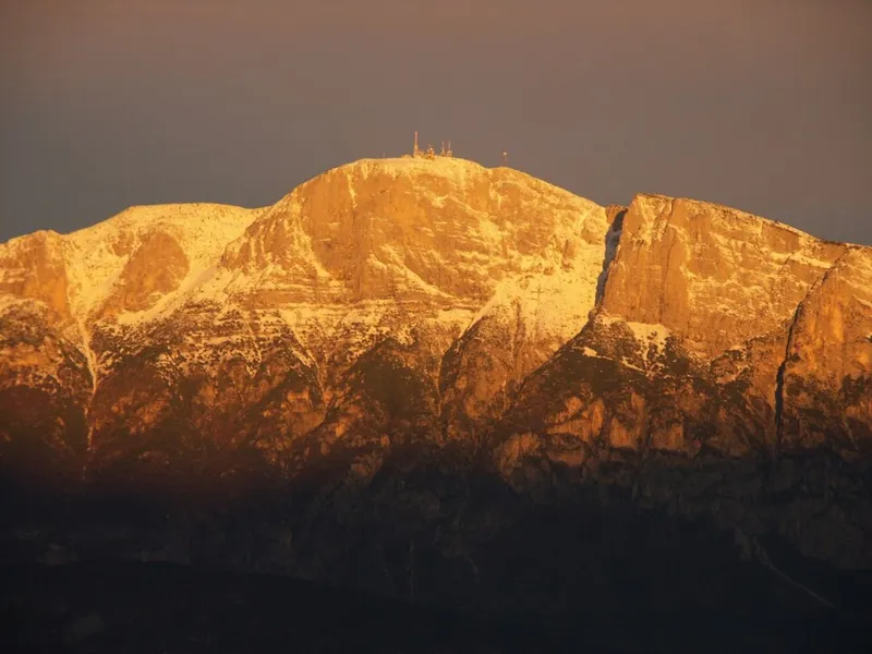
On the summit there is a weather station recognised worldwide.


From above
2116 metres from here
The Paganella is not a single peak but a small mountain group of sedimentary rock, spreading across the municipalities of Fai della Paganella, Andalo, Molveno, Cavedago, Vallelaghi and Terre d'Adige. The highest summit is the Roda, at 2,125 metres; around it stand the Spaloti di Fai and the Becco di Corno to the north, and the Annetta and Vettorato spurs to the south.
At the top there is a weather station officially recognised by the World Meteorological Organization, which is a reference point for the study of the climate of this sector of the Alps: a role that few summits have.
Human presence in this area is very ancient. Flints and terracotta shards recovered from Lake Molveno show that people frequented the area as far back as the Neolithic, and from the third millennium BC the permanent settlement was in the valle delle Seghe, later moving towards Molveno after the landslide that formed the lake.
- Highest summit
- the Roda, 2,125 m
- Weather station
- recognised by the WMO
- Elevation
- 2,125 m
- Group
- Dolomiti di Brenta
- Prominence
- 1,099 m