
Skip to content

This page was translated automatically and we are reviewing it. Read the original in Italian

Valli del Noce
EN
Sign in

Monticello (Costiera della Mendola)

All the valleys

Nature

Monticello (Costiera della Mendola)

The second peak of the Cime di Vigo, which the main path does not reach.
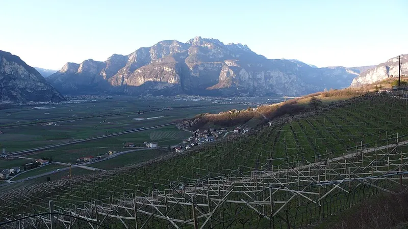
Monticello (Costiera della Mendola)
Ottocarotto · CC BY-SA 3.0 · source

A summit of 1,857 metres straddling the Val di Non and the Valle dell'Adige, second in height in the small Cime di Vigo range. It lies to the south of Cima Roccapiana.

A clarification for anyone planning the outing: the SAT 500 path, which is the natural route through the area, passes below the Coverlat ridge and does not reach the top of Monticello.

Elevation
1,857 m

Trails that pass through here

From the register of alpine trails of the Autonomous Province of Trento. © SAT.

Today in the valleys

Just a moment...

Gipthe bearded vulture of Valli del Noce

Hi, I am Gip. I am a bearded vulture: my species had vanished from the Alps in the 1930s, and the first one born in Trentino in at least a hundred and fifty years took flight from Val di Rabbi this past 16 July.

Ask me about places, the valleys or the people who work here. I answer with what is in our pages: if I do not know something, I will tell you.

Gip is an assistant based on artificial intelligence. It answers only with the verified facts in our pages. Your questions are processed by Anthropic, in the United States, and we do not keep them: do not write personal data. How we handle them.