
Nature
Monte Macaion
On the summit stands the province's weather radar.
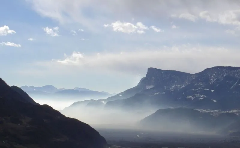

Monte Macaion, called Gantkofel in German, reaches 1,866 metres and is part of the Costiera della Mendola, in the Alps of the Val di Non: the same ridge that has the Penegal to the north and Cima Roccapiana to the south. From the summit there is a wide view over the Adige valley.
For some years now the Meteotrentino weather radar has been installed on the summit, and on the service's website you can see a photograph taken in real time that covers the 360-degree panorama: a mountain that can also be seen from afar, without climbing it.
- Elevation
- 1,866 m
- German name
- Gantkofel
- On the summit
- weather radar
- Group
- Costiera della Mendola
Trails that pass through here
- O500Sentiero alpinistico attrezzato delle cimeEE51.8 kmright here
- O513Route O513E9.3 kmabout 250 m away
From the register of alpine trails of the Autonomous Province of Trento. © SAT.