
Nature
Monte Cornicoletto
A wedge of its eastern side reaches the summit within the municipality of Borgo d’Anaunia.
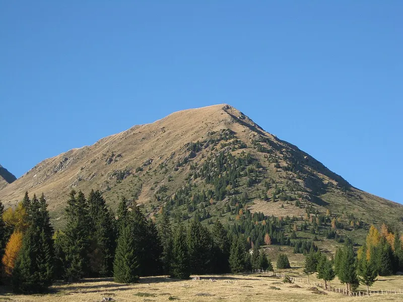

Monte Cornicoletto, in German Kleiner Kornigl or simply Kornigl, is 2,311 metres high and lies in the Ilmenkamm of the Ortles Alps, to the west above the Hofmahdjoch. The name has the same origin as that of the neighbouring Cornicolo: the Latin cornu with the diminutive suffix -iculu, that is, a small horn.
Its slopes are divided among three municipalities, and one of them is ours: the north flank belongs to San Pancrazio in Val d'Ultimo, the south side to Lauregno, and a wedge that on the east side reaches the summit falls within the Trentino municipality of Borgo d'Anaunia. To the north-west a ridge links it to the Cornicolo, which is higher even though it does not look it from Proves.
The normal route starts from the Clazner Alm, just below the mountain to the south, or from the Hofmahdjoch, and passes through the basin called Clazner Loch, enclosed between the two Kornigl and the Cima di Belmonte; from there a very steep climb leads to the ridge between the two peaks, and the summit cross is reached by a path that is exposed in places.
- Elevation
- 2,311 m
- Municipalities
- San Pancrazio, Lauregno, Borgo d'Anaunia
- Normal route
- from the Clazner Alm
- Group
- Maddalene chain