
Nature
Cima Roccapiana
It closes to the south the ridge that the Penegal closes to the north.
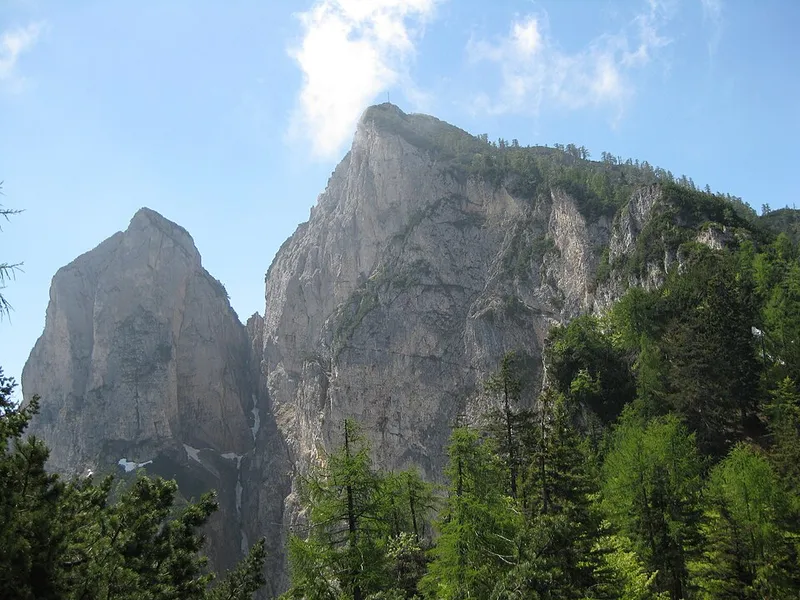

Cima Roccapiana reaches 1,873 metres and straddles the Val di Non and the Valle dell'Adige. It is the highest peak of the southern part of the Costiera della Mendola, the same ridge that has the Penegal at its opposite end, and it is also the highest of the Cime di Vigo, between the Val dei Molini above Roveré della Luna and the Rocchetta to the south, as far as the Prà d'Arza pass to the north.
To the north of the Roccapiana lies Monte Cucco, at 1,807 metres, connected to it by SAT path 500. The summit can be reached from the eastern side by path O518, which starts from Malga Kraun, or from the western side by path O500, which climbs from Malga Bodrina and then continues north to the passo della Mendola.
- Height
- 1,873 m
- Ridge
- of the Mendola
- Monte Cucco
- 1,807 m, to the north
- Group
- Costiera della Mendola
- Prominence
- 370 m
Trails that pass through here
- O518Route O518E2.3 kmright here
- O500Sentiero alpinistico attrezzato delle cimeEE51.8 kmright here
From the register of alpine trails of the Autonomous Province of Trento. © SAT.