
Nature
Cima di Belmonte
Three ridges lead to the summit, and all three can be climbed.
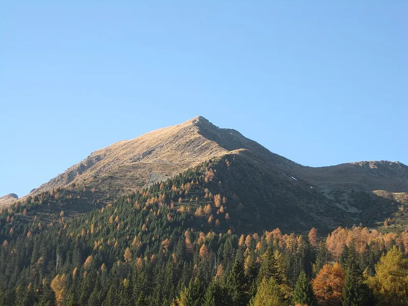

The Cima di Belmonte, in German Schöngrubspitze, is 2,459 metres high and lies in the Ilmenkamm of the Ortles Alps, where it separates the municipality of Ultimo, in the valley to the north, from that of Proves, in the German-speaking upper Val di Non to the south.
Three ridges lead to its summit. The western one continues over an intermediate peak and reaches the Vedetta Alta; the north-east one goes to monte Cornicolo; the south-east one descends towards the Val di Non. It can be climbed by all three.
The routes are these: a ski track climbs to the notch between the Cima di Belmonte and the Cornicolo; you can also arrive via the Clazner Loch, the closed basin between the two Kornigl and this peak, and then along a path that follows the south-east ridge; from the west a path starts from the Walschgrubenalm, on the Ultimo side, and leads onto the ridge between the peak and the Vedetta Alta.
- Height
- 2,459 m
- Ridges
- three, all passable
- Municipalities
- Ultimo and Proves
- Group
- Maddalene range