
Nature
Cima Careser
It takes its name from the glacier beneath it.
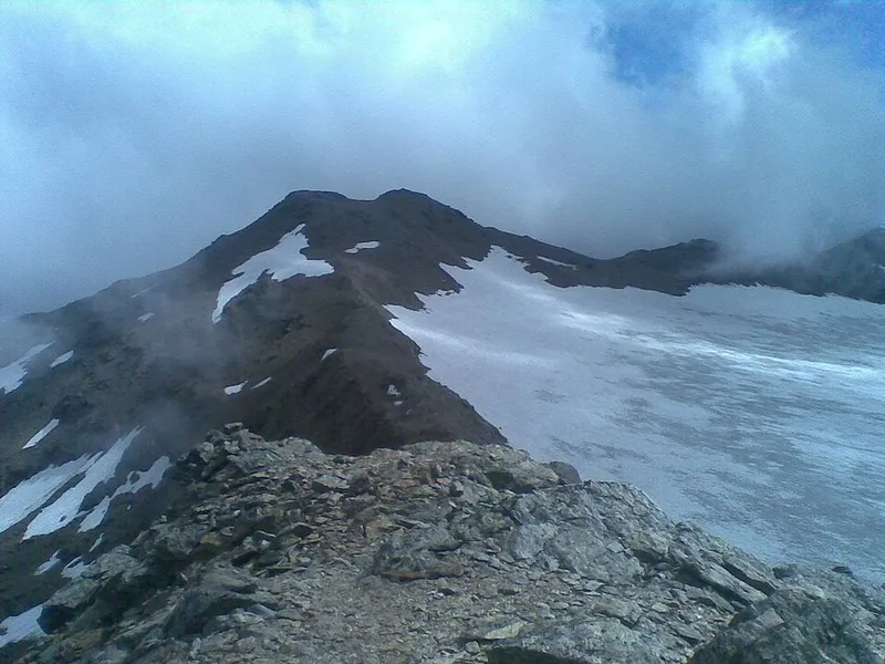

Cima Careser reaches 3,189 metres and belongs to the Ortles-Cevedale group, in the southern Rhaetian Alps. It lies in Trentino between the Val di Rabbi and the Val di Peio, and more precisely above the Val de la Mare and the Val Venezia. It is the third peak along the ridge that starts from cima Rossa di Saént and runs to cima Vallon, ending in the Vegaia-Tremenesca group, and it forms the watershed between the Rabbies stream and the Noce Bianco.
From the Val di Rabbi you set out from Collér, at 1,381 metres, and the difference in height to be tackled is considerable: 1,808 metres, which drops to about 1,600 if you use the Parco nazionale dello Stelvio shuttle as far as malga Stablasól. The route is easy as far as the rifugio Silvio Dorigoni, at 2,437 metres; then you head east towards the Bocchetta di Saént, at 3,128, and from there a short ridge, levelled by repeated ascents, leads to the summit.
From the Val di Peio you start from malga Mare, at the head of the Val della Mare at 2,031 metres, and along path SAT 102 you cross the moraines of the Cevedale glaciers almost on the flat as far as the rifugio Guido Larcher, at 2,607 metres. The name of the peak comes from the glacier beneath it, the Careser.
- Altitude
- 3,189 m
- Ascent from Collér
- 1,808 m
- Group
- Ortles-Cevedale
Trails that pass through here
- O104Route O104EE9.1 kmabout 350 m away
From the register of alpine trails of the Autonomous Province of Trento. © SAT.