
Nature
Cima Busazza
It rises eighteen hundred metres above the Val Vermigliana.
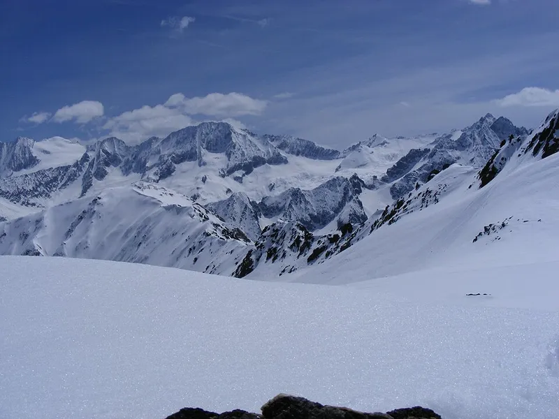

Cima Busazza reaches 3326 metres in the Adamello-Presanella Alps, four kilometres south-east of Ponte di Legno and inside the Parco naturale Adamello Brenta. Its relief is what stands out: the summit rises 1,750 metres above the Sarca di Genova in two and a half kilometres, and 1,825 metres above the Val Vermigliana in four kilometres.
It is also a watershed: the water running down the south side ends up in the Sarca, while that of the north side flows into the tributaries of the Adige. On the north flank the Vedretta della Busazza survives. The nearest higher peak is Monte Gabbiolo, just over three kilometres to the east.
The first ascent was made on 1 August 1889 by Adolf Gstirner and Karl Schultz with the guide Ognibene Bonapace, by the south-east face and the east ridge. The good months for coming to these parts run from June to September.
- Elevation
- 3326 m
- Relief above the Val Vermigliana
- 1,825 m
- First ascent
- 1 August 1889