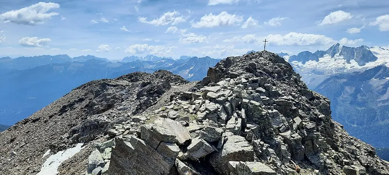
Monte Rèdival
A peak of 2,973 metres in the Ortles-Cevedale group, on the ridge that closes the Vermiglio valley to the north.
This page was translated automatically and we are reviewing it. Read the original in Italian
 Valli del Noce
Natural places in the Val di Sole
Itineraries · Val di Sole
6 stops, all with a written page, from Monte Rèdival to Prati aridi di Arnago. 27.2 kilometres as the crow flies.
A peak of 2,973 metres in the Ortles-Cevedale group, on the ridge that closes the Vermiglio valley to the north.
11.5 km as the crow flies
In the Malga Bassa di Fazzon, above Pellizzano, a few hundred metres from the Lago dei Caprioli.
0.8 km as the crow flies
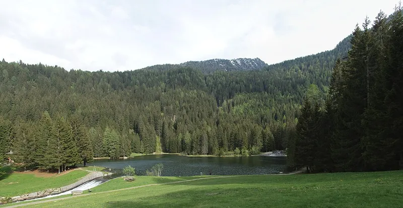
An artificial lake at 1,280 metres, in the locality of Fazzon.
11.9 km as the crow flies
Damp woodland along the Noce between Croviana and Monclassico, a special area of conservation in the Natura 2000 network.
1.5 km as the crow flies
A network of reserves created in 2015 to protect the Noce and its tributaries in the Val di Sole.
1.5 km as the crow flies
Above Arnago, a hamlet of Malé, dry meadows and woods protected by the Natura 2000 network at the entrance to the Val di Rabbi.
Download the stops (GPX) for your satnav or watch: the points and their order.
The distances are as the crow flies: you reach these stops on foot, and the real path is longer. The order of the stops starts from the place highest up the valley and goes on to the nearest, following the direction in which the Noce flows.