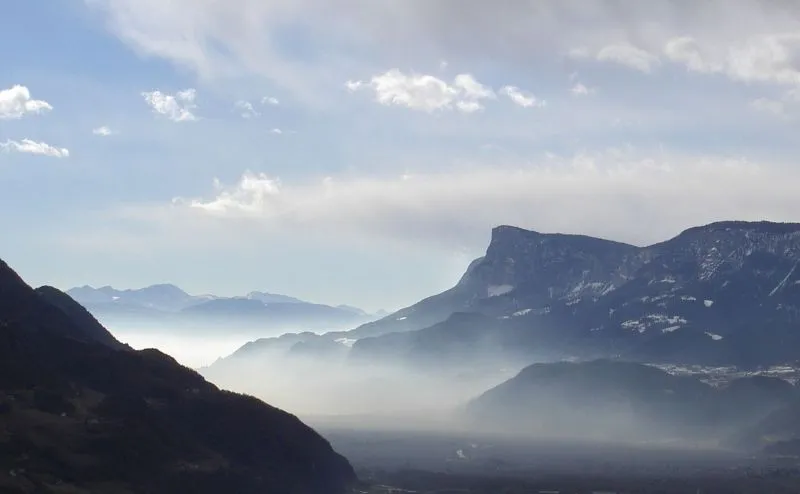
Monte Macaion
On the summit stands the province's weather radar.
This page was translated automatically and we are reviewing it. Read the original in Italian
 Valli del Noce
Natural places on the border: from Monte Macaion to Parco Naturale Adamello Brenta
Itineraries · Valli del Noce
8 stops, all with a written page, from Monte Macaion to Parco Naturale Adamello Brenta. 74.1 kilometres as the crow flies.
On the summit stands the province's weather radar.
6.3 km as the crow flies
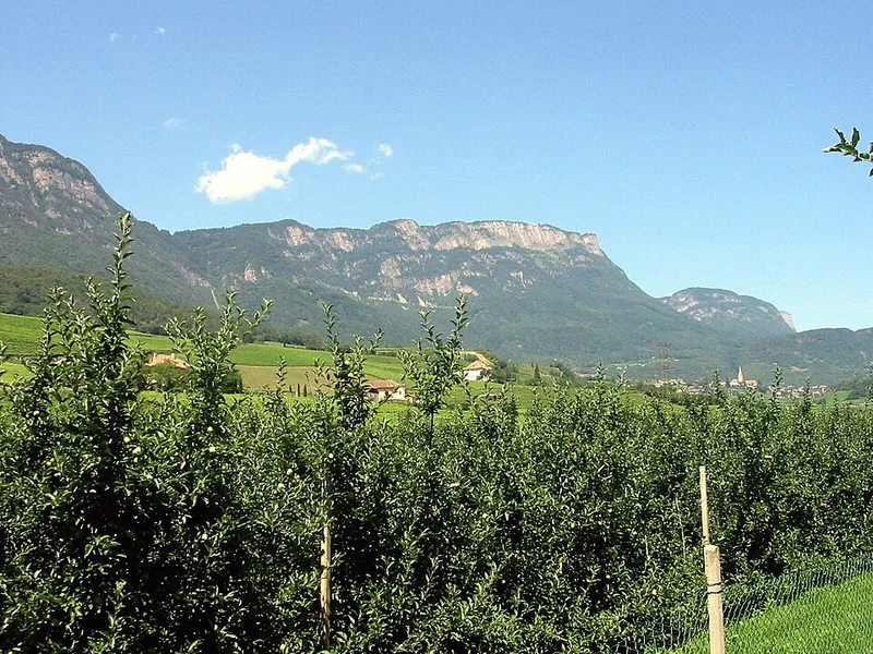
You can get there by car, and from the summit you can see the Dolomites and Bolzano.
8.9 km as the crow flies
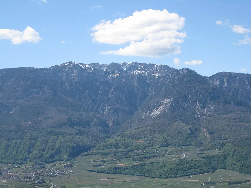
The highest peak of the Mendola ridge.
7.4 km as the crow flies
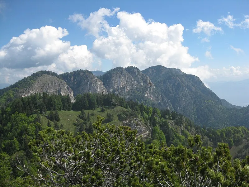
A full 360-degree panorama, and on the path a chasm seventy metres deep.
4.7 km as the crow flies
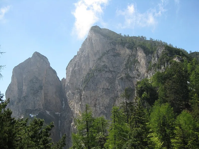
It closes to the south the ridge that the Penegal closes to the north.
1.5 km as the crow flies
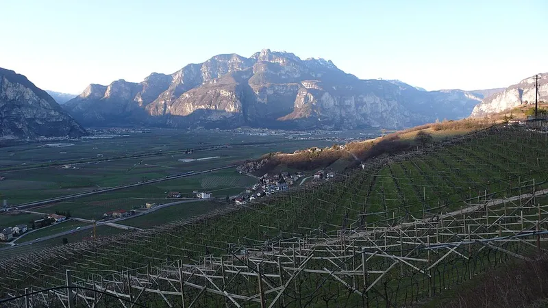
The second peak of the Cime di Vigo, which the main path does not reach.
10.1 km as the crow flies
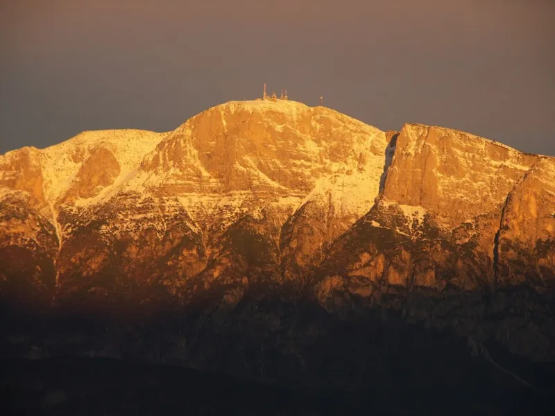
On the summit there is a weather station recognised worldwide.
24.8 km as the crow flies
The largest protected area in Trentino: Adamello-Presanella and Dolomiti di Brenta, between the Val di Non, the Val di Sole and the Giudicarie.
Download the stops (GPX) for your satnav or watch: the points and their order.
The distances are as the crow flies: you reach these stops on foot, and the real path is longer. The order of the stops starts from the place highest up the valley and goes on to the nearest, following the direction in which the Noce flows.